


The TLS measuring system
Terrestrial Laser Scanning offers an alternative to traditional survey techniques. It provides high resolution spatial information by measuring the reflectance of laser pulse emitted from a scanner installed on a tripod. By pointing a laser beam over a scene or objects, the laser scanner is able to record millions of 3D points. It is possible to obtain full 3D coverage of a subject performing and combining multiple scans from different line of sights.
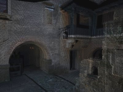
Using a digital camera some instrument can acquire RGB information that can be combined with the 3D point cloud obtaining a more complete description of the scene.
Some application of terrestrial laser scanning data are:
- Generating solid mesh for 3D visualisation of scenes and objects
- Calculating volumes and areas
- Detecting deformation of the objects
Terrestrial laser scanner overcome the challenging task of getting accurate data from inaccessible locations with traditional survey techniques.